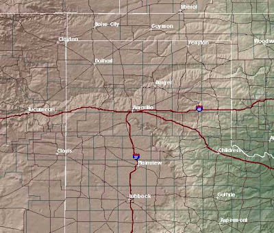
(click the pic for larger view)
Yep, it's purdy flat in the Panhandle at first glance and if you've only driven through here via Interstate 40, it's definitely easy to get that impression from the monotonous scenery from that route. Just south of Amarillo though, is Palo Duro Canyon, the second largest canyon in the US and to the north is the rugged Canadian River basin.
It's understandable why this is labeled "Tornado Alley", what with the Rockies on the right creating a funnel for storm systems and nothing but a three strand barbed wire fence between us and the Canadian Arctic and its cool air that sometimes mixes with the warm, humid air rising up the gentle slope from the Gulf of Mexico. It's a recipe for twisters!
This is a royalty-free image from the national weather site.


No comments:
Post a Comment